





















Bangladesh scientist receives Data User/Provider Award
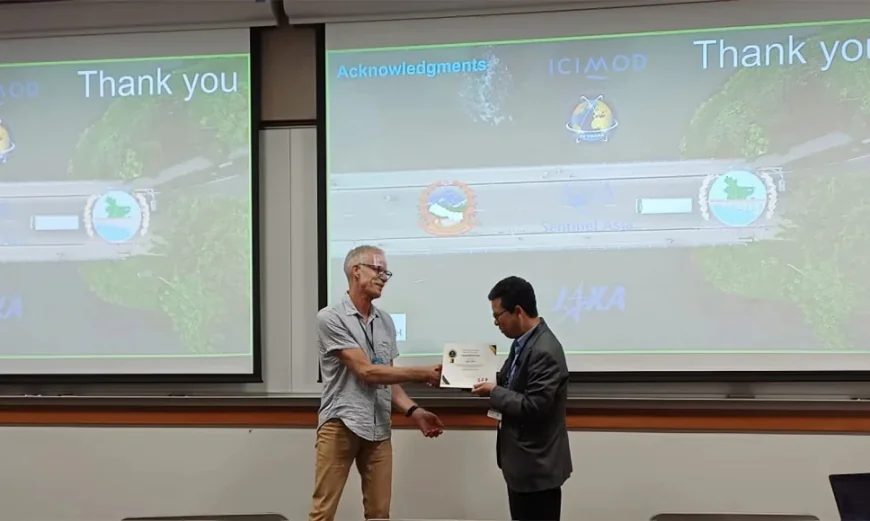
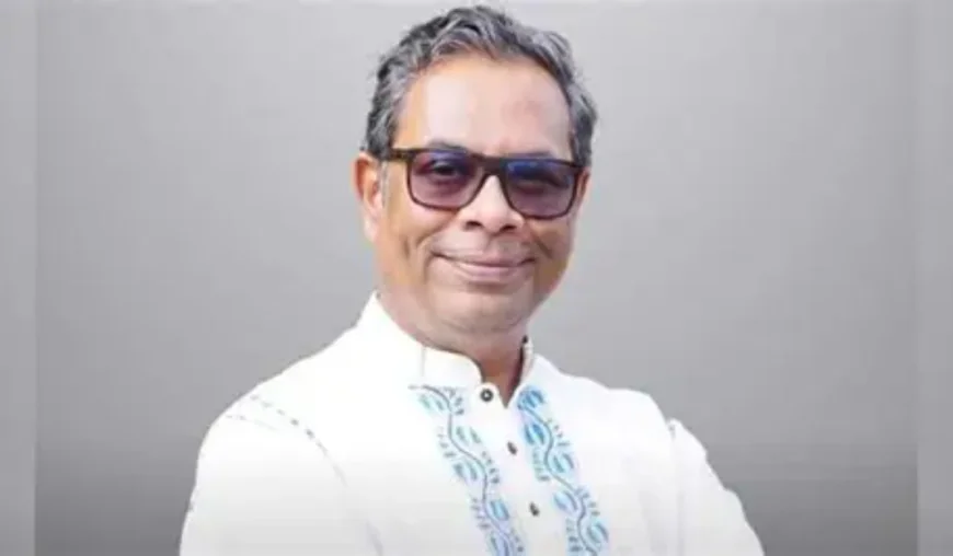
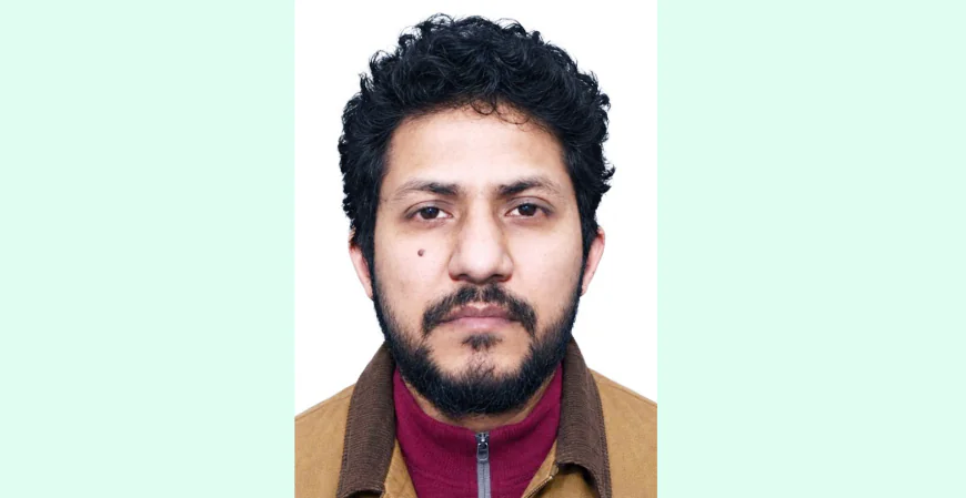
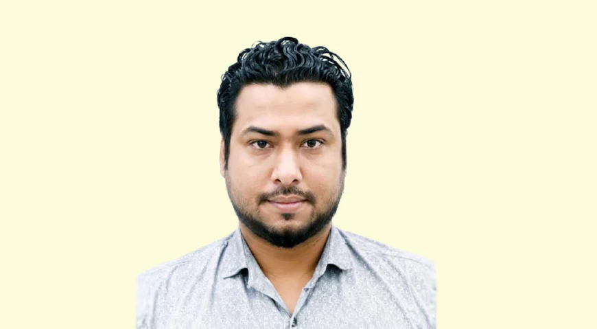
Geospatial expert Kabir Uddin, currently serving as Research Fellow in Geospatial Analytics for Disasters and Ecosystems at the United Nations University - Institute for Water, Environment and Health (UNU-INWEH), was presented with the prestigious Data User/Provider Award during the 2026 Global Flood Partnership (GFP) Annual Conference held at Brigham Young University (BYU).
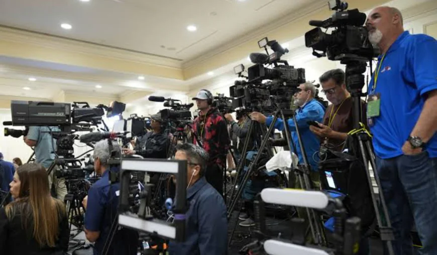
?The conference, themed "From Research to Operations: Advancing Global Flood Forecasting and Operational Hydrology," brought together around 78 professionals, hydrologists, and geospatial scientists from across the globe, a press release said today.
?As a Research Fellow at UNU-INWEH, Kabir Uddin was recognised by the GFP Steering Committee for bridging state-of-the-art technological developments with direct interactions with local stakeholders.
?Kabir Uddin delivered a keynote presentation titled "Beyond Rapid Flood Mapping from Local to National Scale Using Actionable Geospatial Data for Risk Assessment and Flood Shelter Suitability," demonstrating how Earth Observation (EO) imagery and GIS platforms evaluate flood risk and identify suitable shelter locations.
?Prior to joining UNU-INWEH, Kabir Uddin spent over 20 years at the International Centre for Integrated Mountain Development (ICIMOD), where he served as a Data Analyst, Project Manager for the International Charter Space and Major Disasters, and focal point for Sentinel Asia.
His pioneer work in satellite flood inundation mapping spans major regional disaster responses, including the 2008 Kosi flood, 2010 Pakistan flood, 2016 Bihar flood, and 2024 flood events in Kathmandu and Thame (Nepal), as well as Feni (Bangladesh).
?Kabir Uddin continues to work closely with key government agencies-such as Nepal's Department of Hydrology and Meteorology (DHM) and the Bangladesh Water Development Board (BWDB)-to integrate satellite data directly into disaster response and flood risk reduction efforts.


 Sponsored by